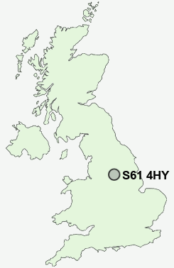
Postcode : S61 4HY, Wingfield, Rotherham, South Yorkshire
Roughwood Road, Rotherham.
S61 4HY close to Wingfield, Greasbrough, Kimberworth Park, Scholes, Nether Haugh and Dropping Well.
Classification
S61 4HY : Constrained city dwellers / White communities / Challenged transitionaries
Local Authority Rotherham
Primary Care Trust Rotherham
Ward Wingfield
Constituency Rotherham
Region Yorkshire and The Humber
Country England
Postcode Area S : Sheffield
S61 Postcode Sectors
S61 2 Blackburn, Hill Top, Jordon, Meadow Hall, Spittal Houses
S61 1 Bradgate, Kimberworth, Masbrough
S61 1 Bradgate, Kimberworth, Masbrough
S61 4HY Nearby Postcode Districts
DN1 DN11 DN12 DN2 DN3 DN4 DN5 S1 S10 S11 S13 S2 S25 S26 S3 S35 S36 S4 S5 S6 S60 S61 S62 S63 S64 S65 S66 S7 S70 S73 S74 S9
Stations near to S61 4HY
Rotherham Central Rail Station about 1.8 miles away.Meadowhall Rail Station about 2.69 miles away.
Elsecar Rail Station about 3.56 miles away.
S61 4HY Schools
Wingfield SchoolGreasbrough Junior and Infant School
Redscope Primary School
Thornhill Primary School
Winterhill School
Kimberworth Community Primary School
Meadow View Primary School
Ferham Primary School
Rawmarsh Community School - A Sports College
UK Search
Antique Furniture
1000s of pieces of Antique Furniture for sale from British antique dealers.